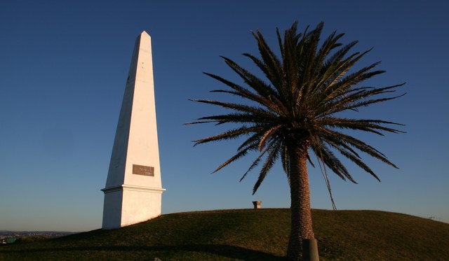
When Newcastle’s hilltop windmill was demolished, mariners lost a conspicuous landmark above the town. The replacement erected in 1850 could not grind grain: it was a sandstone obelisk. What needed replacing was a recognisable mark above the town, not the machinery inside it. [1]
The Government Flour Mill dated from 1820. Newcastle’s council walking guide describes a miller’s house and grain store beside it, and a later period of leasing to private operators after prisoners were transferred to Port Macquarie. [2]
Where is this place?
The Obelisk, Obelisk Hill, Newcastle, New South Wales, Australia — not Macquarie Pier. This map locates the town or region, not a verified exact historic event site.
The university-hosted history compiled for the King Edward Park heritage nomination explains why shipping interests still needed the mill. Other Hunter Valley sources supplied flour, but the building’s height and distinctive form remained useful to navigators. The account records demands from navigators and shipowners for a replacement after demolition. [3]
The local histories disagree about when the mill came down. The council’s 2013 archaeological inventory gives 1847; the university account places demolition in the 1850s while dating the obelisk to 1850. Both identify the obelisk as the replacement shipping marker. [1, 3]
The mill also lingered on paper. The inventory notes that it continued to appear on maps into the 1850s, including an 1853 plan. [1]
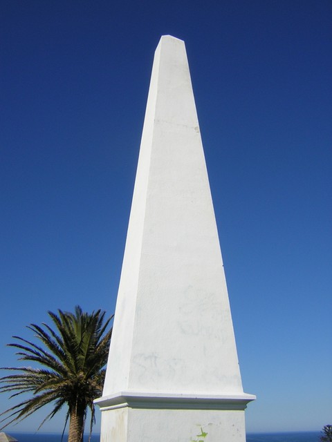
The hill itself changed around the marker. The university history describes Reserve Road separating it from the main park in the 1880s. The council guide identifies another use for the elevated ground: the Obelisk Reservoir, commissioned in 1885 as part of a supply bringing treated Hunter River water from Walka Water Works. [2, 3]