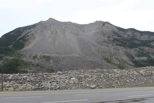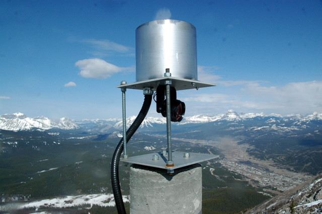
A hole through the brickwork of Bellevue’s municipal pumphouse gave a survey instrument a view of Turtle Mountain. Inside the Alberta building, a concrete pillar supported the robotic instrument, while an insulated wooden enclosure kept outside air from affecting the pumphouse equipment.[1]
Across roughly three kilometres, the instrument sighted reflective prisms on the mountain. In 2007, workers from Vertical Systems International used ropes and climbing gear to install sixteen of them on the eastern face. The Alberta Geological Survey’s report shows the equipment at both ends: the cliff-mounted targets and the instrument looking through its small opening.[1]
Where is this place?
Frank Slide Interpretive Centre, Alberta. This map locates the town or region, not a verified exact historic event site.
A clear view was not enough to make every reading trustworthy. Atmospheric refraction could introduce errors across the height difference between valley and summit. Measurements from prisms paired with GPS stations helped calibrate the distances to the others. Fog, snow and ice could prevent readings altogether.[1]
The AGS’s historical account dates this laser-ranging system’s decommissioning to 2008–09, describing unreliable measurements and prisms frequently covered during the long winter. It says the prisms remain on the mountain face.[2]