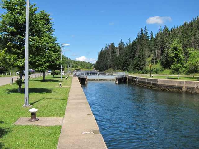
The closed gates at each end of St. Peters’ lock make a diamond: four swinging doors rather than a single pair. Tourism Nova Scotia describes that arrangement in its account of the canal’s outdoor exhibits. There is still only one lock chamber between the Atlantic Ocean and Bras d’Or Lake. [1][2]
Both ends experience tides. Parks Canada gives a possible difference of 1.4 metres between the lake and ocean levels; the doubled gates accommodate those changing levels. The roughly 800-metre channel crosses the narrow isthmus at St. Peter’s, on Cape Breton Island. [2][3]
Where is this place?
St. Peters Canal, Nova Scotia. This map locates the town or region, not a verified exact historic event site.
Mi’kmaq people carried canoes across the isthmus long before canal construction. Later, the portage became a haulover road where people or oxen pulled Nicolas Denys’ ships between shores. In the early nineteenth century, residents laid skids along the old route so boats could again be dragged toward the inland waterway. [3]
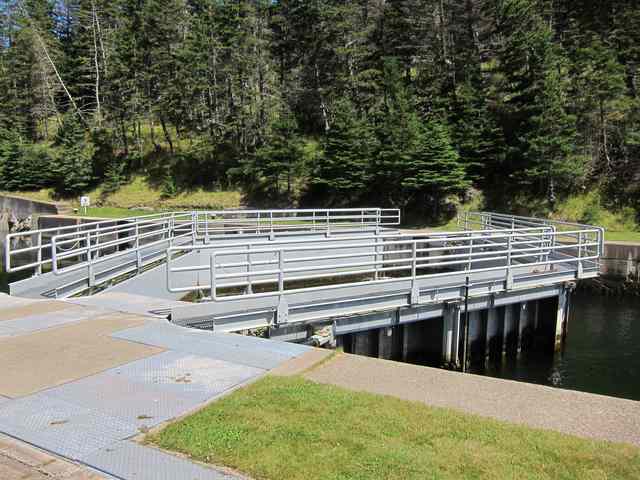
Canal construction began in 1854. Workers spent fifteen years digging, blasting and drilling through a granite hill before the first lock opened in 1869. That opening did not fix the waterway’s dimensions permanently. A rebuilding programme begun in 1876 enlarged the channel and placed a bigger lock just west of the first; the canal reopened in October 1880. [2]
Another reconstruction, from May 1912 to January 1918, moved the Atlantic approach and lock west again. The second lock’s east wall was left standing as an approach wall for its enlarged successor. [2]