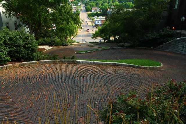
Burlington’s Snake Alley bends down a steep hillside, but its paving bricks were given a slight uphill tilt. That small adjustment was meant to improve a horse’s footing. The curves required work at their edges, too: the limestone curbs were shaped by hand. [1, 2]
The street was built in 1894 between Columbia and Washington Streets. Over its 275-foot length, it changes elevation by about 58 feet. The brickwork had to follow successive bends rather than a straight descent. Burlington’s own account describes the difficulty of keeping the higher side of the surface on the outside as the direction changed. [1, 3]
Where is this place?
Snake Alley, between Columbia and Washington Streets, Burlington, Iowa. This map locates the town or region, not a verified exact historic event site.
A nomination for the Snake Alley Historic District, prepared in December 1974 by Steve R. and Kathleen L. Brower, traces the idea to an exchange between father and son. Charles Starker’s son had seen winding vineyard paths in France and suggested the approach to his father, a German-born architect. Starker then worked with a contractor on the street. The nomination also records that the bricks were made locally. [1]
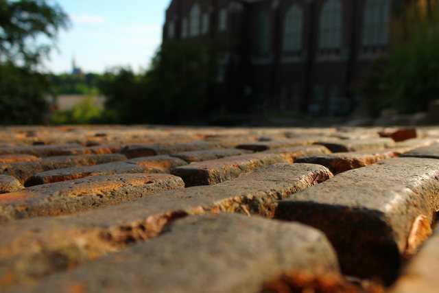
Making a usable route through Heritage Hill involved more than this one stretch of paving. A later nomination for the larger historic district describes limestone retaining walls built as streets were cut down and ground was filled. Houses could sit well above the resulting road level. [2]
It also records an argument over the bill. After the turn of the twentieth century, further lowering of Columbia Street brought objections from nearby property owners. They believed the grading helped a wider neighborhood and wanted the assessments spread accordingly. [2]