In April 2020, a Peel-Harvey Catchment Council project update showed Rick James checking a tube near Lake Clifton’s thrombolites. The instrument was a piezometer: a way to measure water beneath the ground, rather than just the water visible in the lake. [1]
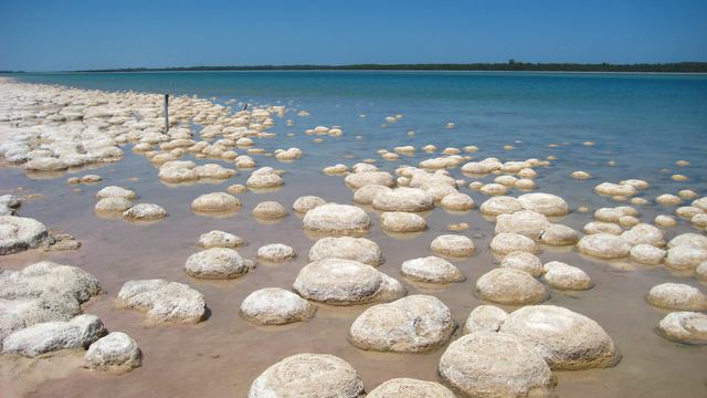
The rounded structures along this Western Australian shore are built by communities of microbes. Geologists distinguish thrombolites by their clotted internal fabric, unlike the layered structure of stromatolites. [2]
Where is this place?
Lake Clifton Thrombolites, Western Australia. This map locates the town or region, not a verified exact historic event site.
At Lake Clifton, fresh groundwater enters the foreshore and nearshore lake bed from neighbouring limestone and sandy country. It carries calcium dissolved from the limestone. To investigate that supply, the council’s 2020 account described tubes with screened or slotted sections set at known depths in boreholes. Water can enter through those openings. [1]
Measurements from several locations can be compared with the lake’s surface-water level to help establish the direction of groundwater flow. Tubes are commonly grouped at different depths so that researchers can compare water chemistry—including salinity—through the groundwater profile. The update described checks along Lake Clifton’s north-eastern side as preparation for longer-term monitoring. [1]
By October 2022, the council was funding a study with University of Western Australia researchers, supported by state water and conservation staff. Its questions extended across the lake’s length and depth, into surrounding groundwater, and through the year. [3]
The proposed water budget would account for inflow, outflow and evaporation, and investigate how long water remained in the lake. Chemical analysis, stable isotopes and water-dating methods were part of the work. A separate salt budget would examine salt sources, recycling, dilution and accumulation. [3]
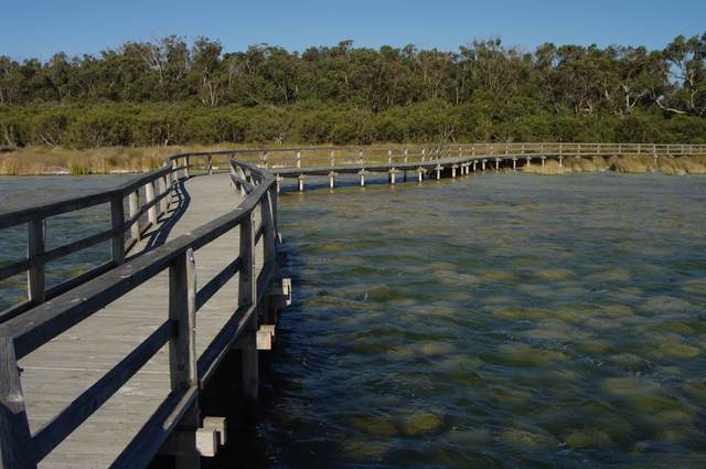
Access note, checked 31 October 2026: the park authority lists the thrombolite boardwalk as closed for construction from 13 July 2026 until further notice. [4]