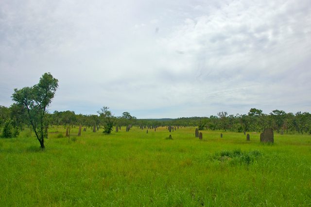
Peter Jacklyn tested termite architecture by turning mounds. In his 1992 account, the researcher described populations whose average alignment changed from geographic north near coastal Mandorah to ten degrees east of it in southern Litchfield. The thin structures were not all pointing along one compass bearing. [1]
Rotation experiments helped him examine what that difference did. He linked orientation to a relatively steady temperature on a mound’s eastern face during dry-season days. Wind and shade changed the balance: a windy coastal site could require a different alignment from a more sheltered inland one. [1]
Where is this place?
Magnetic Termite Mounds, Litchfield National Park, Northern Territory. This map locates the town or region, not a verified exact historic event site.
There was a seasonal puzzle. Most building happened during the wet season, not during the dry conditions the model explained. Jacklyn’s magnetic-field experiments examined repairs, rather than years of whole-mound growth; he proposed inherited directional cues, with questions still open. [1]
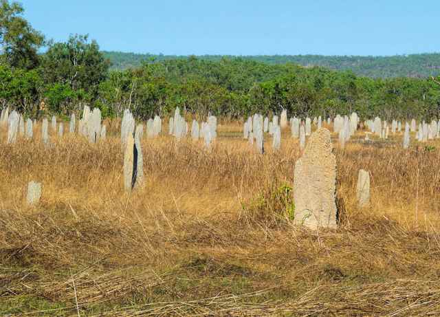
The park’s October 2017 management plan described the work around its public Magnetic Termite Mounds site. Visitors viewed the mounds from a boardwalk across black-soil plains. The plan recorded upgrades to that walkway and a separate new boardwalk around a cathedral termite mound. [2]
It also named gamba grass, leading to large wildfires, as the site’s biggest threat. Maintaining a fuel buffer around the mounds was a high-priority management action. [2]