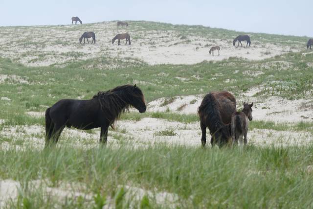
The fence was not quite where Bill Freedman, Paul Catling and Zoe Lucas wanted to measure Sable Island’s plants. In August 2009, they placed one-square-metre sampling plots three metres inside existing horse exclosures, with paired plots three metres outside. Horses used the fence edges as paths and scratching places; measuring there would not represent the surrounding habitat.[1]
These barriers had been built around buildings, wind turbines and scientific equipment, rather than as a uniform experiment. The researchers compared vegetation in six exclosures of different ages and sizes. Their 2011 paper reported that, in marram grassland, standing dead plant cover inside the fences averaged 9.3 times the cover outside. Living foliage was usually more abundant too, but not every difference was statistically significant. Species richness and diversity showed small, inconsistent differences between sites.[1]
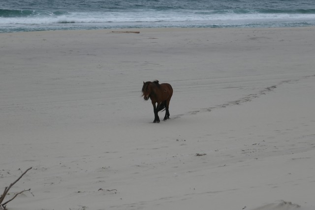
Where is this place?
Sable Island, Nova Scotia. This map locates the town or region, not a verified exact historic event site.
A later project, Fences in the Sand, created new exclosures and compared them with similar areas left open to horses. Parks Canada’s project account reports taller, denser vegetation inside and bare patches filling in. Winter added another visible effect: uneaten dead marram trapped sand around its clumps. These are reported observations, not a completed island-wide verdict. In October 2026, the agency’s results section still said data analysis was under way and a final report would follow.[2]