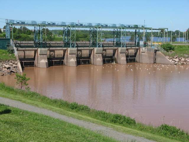
A fish trap on the Petitcodiac moved about two kilometres upstream in 2018. For American eels, the change made it a less effective lookout. Fort Folly Habitat Recovery’s watershed assessment records the distinction: its 2010–2017 site below the Little River’s mouth was better for monitoring eels than the Salisbury site used from 2018 to 2023. The assessment points instead to electrofishing surveys in the headwaters as the more effective way to track them. [1]
The earlier trap had caught part of an eel’s seasonal journey. In 2016 and 2017, workers tagged eels moving downstream on the Little and Pollett rivers in spring. Some were caught again in the main-stem trap as they came upstream in late summer and autumn. Fort Folly describes the journey as feeding in the estuary, then returning to freshwater to overwinter. [1]
Where is this place?
Petitcodiac River, Moncton, New Brunswick. This map locates the town or region, not a verified exact historic event site.
Counting fish here was part of a larger engineering story. The Moncton–Riverview causeway gates opened in 2010; a bridge replaced part of the causeway in 2021. Fort Folly’s spring 2021 newsletter describes its Salisbury trap as part of the required monitoring for that bridge project. Workers counted and released most fish, with selected fish measured, sampled or tagged according to species. It was a sample of the river’s traffic, not a census of everything swimming through. [2]
The equipment itself had already complicated an earlier record. Jacques Mazerolle’s report on the 2013 striped-bass season, published by the Petitcodiac Watershed Alliance in February 2014, lists three long gaps when no data were collected. Heavy rain sent debris into the equipment. Silt accumulated until the original box-net arrangement could no longer work in the shallow water. [3]
On 10 September, the box net gave way to two fyke nets—a different kind of fish trap—slightly farther upstream, where less silt had settled. The report recorded fewer bass than in 2012 but suggested that the missing observations could explain the lower catch. That was the report’s interpretation, not evidence that every unobserved day contained more fish. [3]
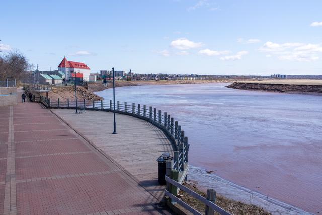
The later eel assessment identifies a different limitation: not missing days, but a less effective location. A date and a species were not enough to describe these catches. The records also needed to say where the net stood. [1]