Surveyors recorded missing passages as well as surviving ones beneath Mount Rainier.
Published October 31, 2026 · Updated October 31, 2026 · 2 min read
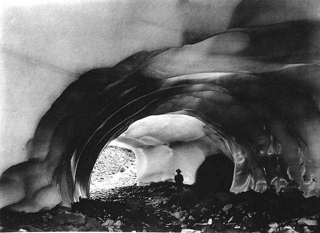
Albert Henry Barnes photographed this earlier Paradise Glacier cave circa 1907, decades before the surveys described here. University of Washington, Barnes Collection, BAR 170, via Wikimedia Commons. Public domain.Photo: Albert Henry Barnes; University of Washington Libraries · Source · Public domain · Full-frame resize and JPEG compression only; original grayscale and photographer marks retained. No crop, colourisation or restoration.
A December 1971 map of the Paradise ice caves needed two kinds of shading for collapsed passages. One marked losses from 1967–69; the other marked 1970–71. Beside the routes, its makers warned that passage sizes, openings to the surface and accessibility could change.[1]
Charles H. Anderson Jr. had begun annual surveys and photographic records in 1967. His work followed caves beneath Mount Rainier’s Paradise Glacier in Washington, including its Stevens lobe. The 1971 map credits Anderson and William R. Halliday; a later study reproduced it alongside the 1969 survey to show how much cave area had vanished.[1]
Where is this place?
Paradise area, Mount Rainier National Park. This map locates the town or region, not a verified exact historic event site.
Meltwater streams formed the passages. As they enlarged cavities within the ice, glacier movement and falling pieces of ceiling and wall altered what surveyors could record. By 1993, retreat had destroyed virtually all the previously mapped caves, Anderson and his co-authors reported.[1]
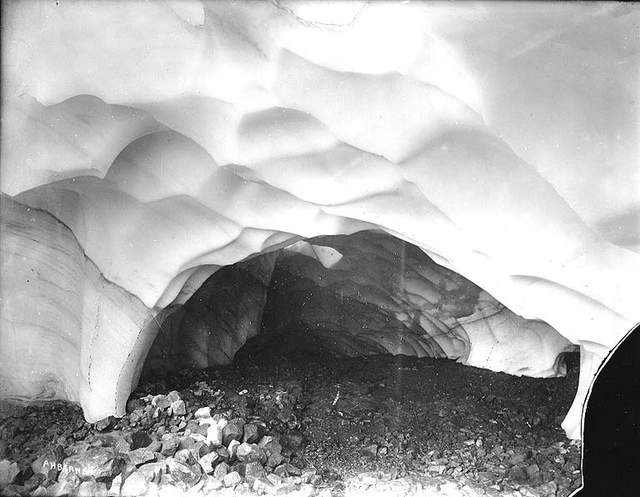
Another Paradise Glacier cave view, circa 1907. Albert Henry Barnes; University of Washington, Barnes Collection, BAR 172, via Wikimedia Commons. Public domain.Photo: Albert Henry Barnes; University of Washington Libraries · Source · Public domain · Full-frame resize and JPEG compression only; original grayscale and photographer marks retained. No crop, colourisation or restoration.
The National Park Service now presents silent archive footage of the caves, once a popular attraction in the 1920s and 1930s. Its description states that the Paradise Glacier ice caves no longer exist.[2]
Sources & further reading
The linked sources document the evidence behind the story. Source availability and image reuse rights are separate questions.
This article was developed with AI-assisted research and drafting, with source-based checks and editorial review. The publication does not claim firsthand visits or interviews unless explicitly documented.