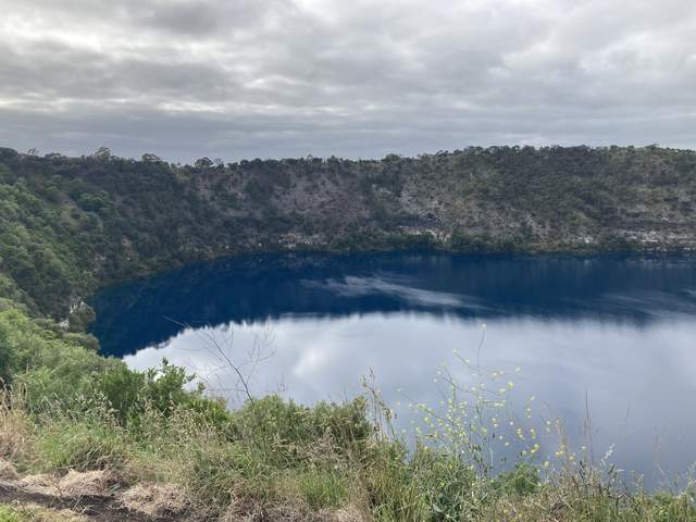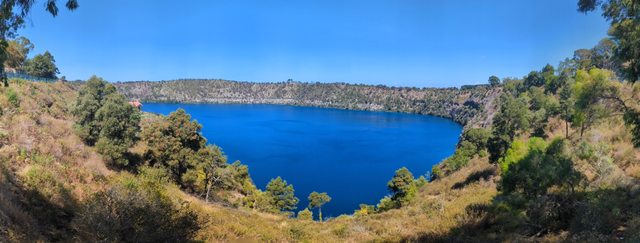
The most calcite turned up when Mount Gambier’s Blue Lake looked grey. That was the result Nicholas J. Turoczy reported after monitoring calcium and other water-quality variables from August 1999 to August 2000. In the published abstract of his 2002 paper, calcite concentrations were highest in winter and lowest in the blue summer water. [1]
Turoczy proposed that winter’s suspended calcite particles could scatter light without favouring a particular colour, while summer’s water could look blue because fewer impurities were absorbing or scattering the light. He described this as one potential component of the seasonal change. [1]
Where is this place?
Blue Lake, Mount Gambier. This map locates the town or region, not a verified exact historic event site.
An earlier satellite image caught another complication in watching that change. Landsat 7 photographed the lake on 1 October 1999; it was already conspicuously blue. In its 2008 account of the image, NASA noted that the transition varied between years and might have been underway. The agency also offered a viewing-angle explanation: a satellite looking down could receive more scattered blue light than someone looking across from the crater rim. [2]