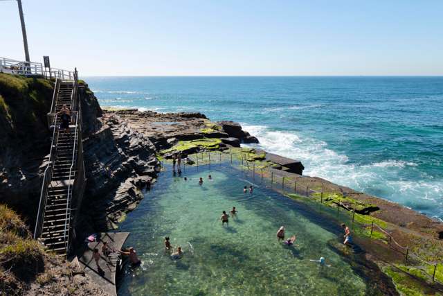
What would the announced A$491,000 for Newcastle’s Bogey Hole pay for? That was one of the questions local MP Tim Crakanthorp put to the New South Wales government in September 2016. [2]
The answer, received on 27 October, included work that would not become a visible addition to the rock pool: preparing documentation for proposed stabilisation. The money would also cover physical works recommended by a Cardno geotechnical assessment. Officials said the assessment was establishing the hazards’ nature and extent, and the options for rectifying them. [2]
Where is this place?
Bogey Hole, Newcastle, New South Wales. This map locates the town or region, not a verified exact historic event site.
The problem extended above the water. Ground Stabilisation Systems describes coastal erosion making the surrounding cliff faces unstable. Its own project record dates the company’s engagement to 2017; that is a separate account, not a completion date supplied by the parliamentary answer. [1]
GSS says it installed twelve-metre rock bolts, rock-catch fences and shotcrete—sprayed concrete. Those were cliff-stabilisation measures, not the chain boundary visible around the pool in the photographs. [1]
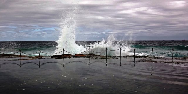
The company’s broader account adds the working position: its team was suspended above the sea while installing the bolts, fences and concrete. [3]