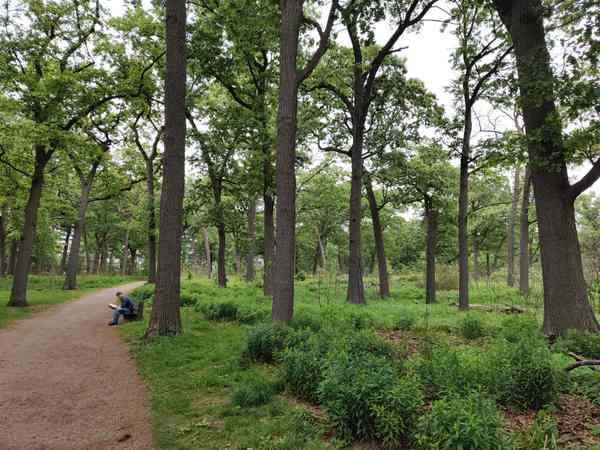
Nineteen locations in one account; six in a later survey. For lowbush blueberries in Toronto’s High Park, that looks like a troubling decline. The Toronto and Region Conservation Authority’s 2019 biological inventory did not treat it as a settled verdict. The plants found in 2018 appeared healthy and responsive to burns. The counting itself might have changed. [1]
A patch with small gaps could have received several map points from one surveyor and just one from another, the report explained. That was a possible explanation, not proof that nothing had been lost. These were records of locations, not a census of individual blueberry plants. [1]
Where is this place?
High Park, Toronto — park context, not a map of sensitive plant populations or burn boundaries. This map locates the town or region, not a verified exact historic event site.
What a greener park cannot tell you
The distinction matters in a place being actively restored. The same inventory observed oak regeneration in the most intact woodland and savannah communities, an improvement over conditions described in the 1990s. It also distinguished restored areas from others with dense, invasive-dominated undergrowth. [1] A green view alone cannot supply that assessment: what is growing matters, as does how it was recorded.
This is not an argument against counting. It is an argument for reading the explanation attached to the count. A change on a map can prompt a better question before it becomes a headline about success or failure.
The work after the fire
Toronto reported completing its 2026 traditional and prescribed burn in High Park and Lambton Park on April 23, in collaboration with the Indigenous Land Stewardship Circle. Its next stated task was to evaluate progress and refine the goals for those habitats. The burn’s completion was not the end of the assessment. [2]
The city warns that invasive plants can move into newly burned ground before native plants establish themselves. Follow-up management therefore remains part of the work. Its advisory committee brings together Indigenous stewards, city staff, naturalists and technical specialists; objectives for individual burn areas change in response to observations. [2]
An Urban Forestry account published by High Park Nature makes that process concrete. Staff return after weeks or months to examine regeneration. They may identify invasive plants needing further attention, or places where the native seed bank has not produced the hoped-for growth and locally sourced planting could help. Observations also inform which areas are considered for the following burn period. [3]
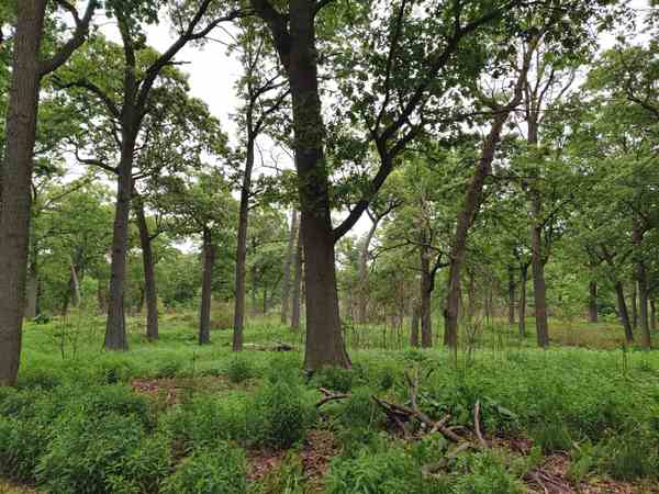
That is a different picture from an annual spectacle followed by a photograph of new greenery. The later visits help decide what happens next.
Care is not only a measurement
The Indigenous Land Stewardship Circle’s own account describes a commitment to healing both land and community in Tkaronto. It identifies its members as Elders, knowledge keepers, community members and leaders from diverse Nations, working with local institutions to create opportunities for Indigenous leadership in restoring the savannahs. [4]
That stated purpose cannot be reduced to the number of hectares burned. Nor can the blueberry question be resolved by assuming that every missing dot means a missing patch—or that every difference is harmless.
High Park’s restoration asks for more patient attention: compare records, examine the living ground, and distinguish an encouraging observation from a conclusion the evidence cannot yet carry.