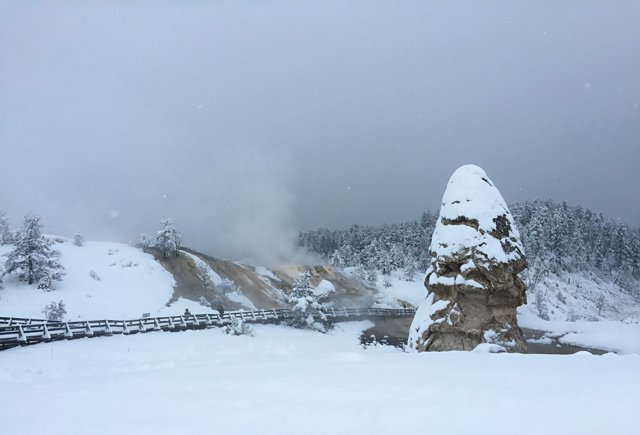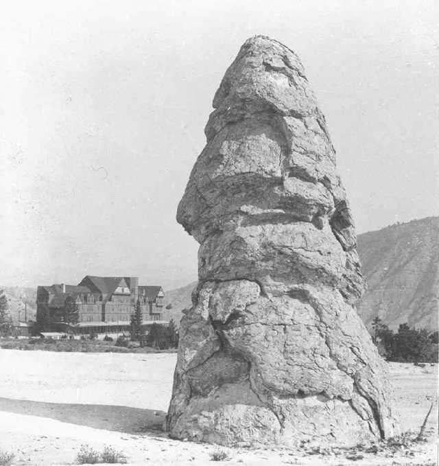
Ferdinand V. Hayden looked at Liberty Cap’s overlapping mineral layers and compared them to thatch on a roof. By the time of his account, published in 1872, the cone at Mammoth Hot Springs was no longer spouting.[1]
He proposed a sequence: pressurized water had built a basin higher and higher around its outlet; the top eventually closed, water escaped through openings in the sides, and flow finally stopped. That was Hayden’s reconstruction of the cone’s past, not a process he had watched from beginning to end.[1]
Where is this place?
Liberty Cap, Mammoth Hot Springs, Yellowstone. This map locates the town or region, not a verified exact historic event site.
The National Park Service’s modern account likewise describes a spring that remained active in one place for a long time, with enough internal pressure to lift water high above the ground. Mineral deposits could therefore accumulate continuously, perhaps for centuries. At Mammoth, water carries dissolved calcium carbonate through limestone. When it reaches the surface and releases carbon dioxide, the mineral is deposited as travertine.[2]
The name came from a different comparison. The 1871 Hayden Survey saw a resemblance to the peaked caps associated with the French Revolution.[2]