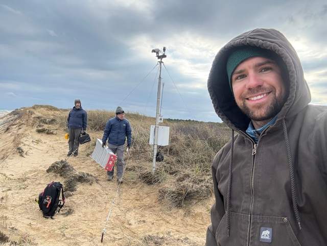
In late November 2025, the CoastCam cameras above Marconi Beach needed their third move. The bluff at Wellfleet, Massachusetts, was retreating; the equipment could not keep its old position indefinitely. But moving the cameras left another job for the USGS team: measuring where they now stood and which way they looked.[1]
Staff placed targets within the cameras’ field of view, surveyed those targets and used photogrammetry to establish the new position and viewing direction.[1]
Where is this place?
Marconi Beach, Wellfleet, Massachusetts. This map locates the town or region, not a verified exact historic event site.
The two-camera installation looks northeast along the shore and east towards the sea. Its images help researchers follow the shoreline, moving sandbars and waves running up the beach. A data release covering observations in 2021, 2023 and 2024 includes calibration information needed to turn the images into quantitative measurements.[2]
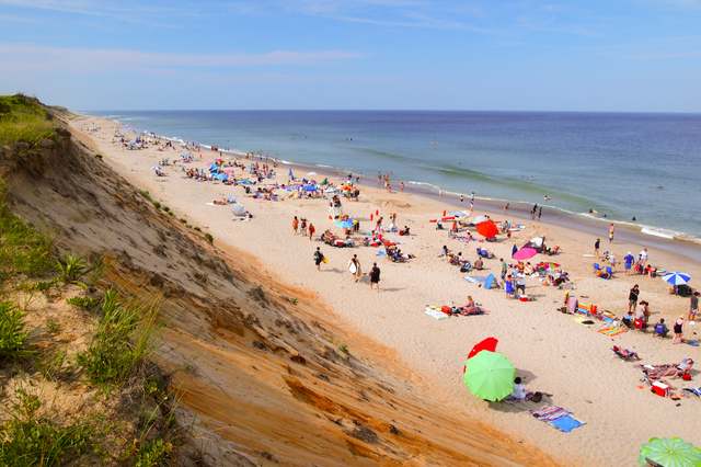
Ground control had been part of the work from the beginning. During the 2021 field surveys, researchers established two reference marks in the beach parking area for future surveys. A camera suspended from a helium balloon-kite supplied aerial photographs of the beach and bluff on 17 March.[3]