Lemuel Moody’s customers could get more than a flag announcing an incoming ship. The Osher Map Library’s exhibition of his papers describes copies of a corrected harbor chart going to subscribers of the Portland Observatory. It also identifies sailing directions as a subscriber benefit. [1]
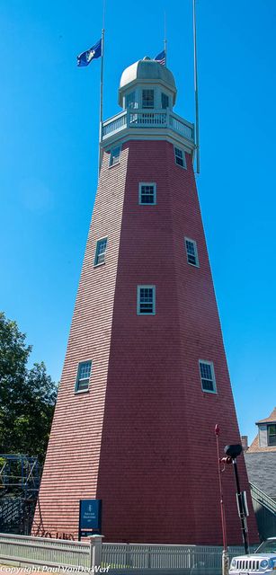
The tower’s better-known service cost shipowners $5 a year. Built on Munjoy Hill in 1807, the octagonal observatory gave Moody a view that the docks lacked: incoming vessels were otherwise hidden until they rounded Spring Point Ledge. He identified ships through a telescope and raised flags for the subscribing merchants. [2]
Where is this place?
Portland Observatory, Maine. This map locates the town or region, not a verified exact historic event site.
Moody used that perch to improve an earlier chart by Joseph Des Barres. The library dates Moody’s chart to 1825–28 and describes its coverage as extending from the Kennebec to Wood Island and Winter Harbour. A separate document, catalogued under 1831, records money paid for publishing his Casco Bay chart; the exhibition gives the sum as $497.85. [1]
Captain Seward Porter’s account appears among the papers, described as lists of charts, directions and notes. The exhibition’s 1829 sailing-directions entry covers Portland Harbor and neighboring harbors. [1]
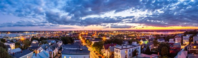
The printing work had its own local address. David G. Johnson, a painter and engraver represented in the archive, worked at 4 Market Square between 1831 and 1835. He also produced maps for Portland’s 1834 city directory. [1]